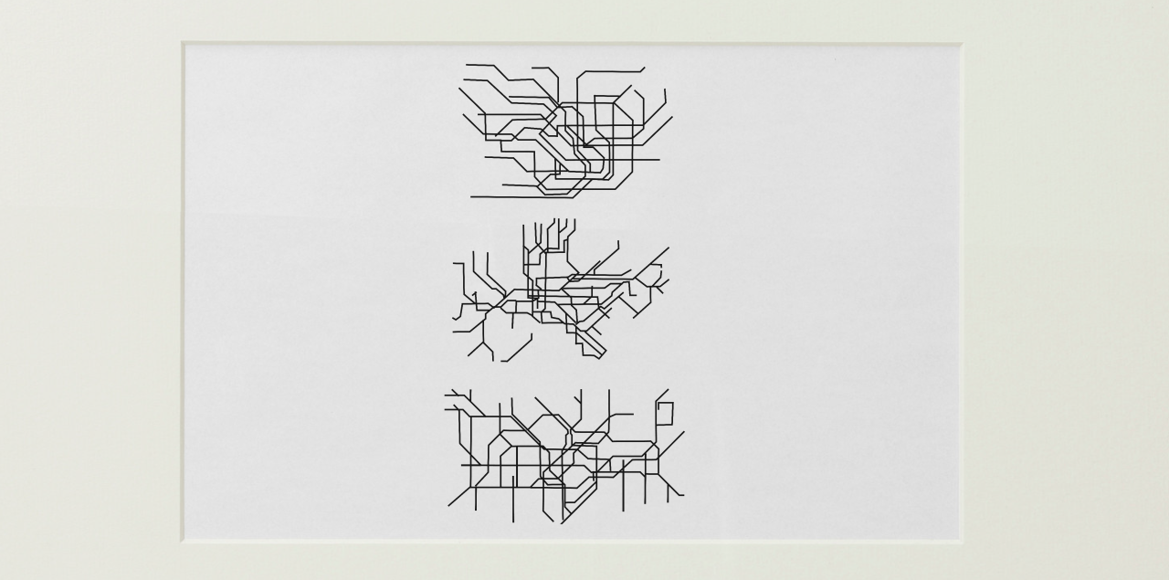
For this weeks Digital Narrative lesson, we had to create a map similar to those of Richard Long. The maps needed to show information (if you could understand it) but still appear a piece of art on its own
I chose to take the tube/subway maps for different countries and removed all the station names. You are left with a series of abstract lines and colours creating an aesthetic pattern that roughly geomaps the geography of each city the tube lines represent. It is nice to see this clear difference between them all