For my Design for Simulation I have begun to start modelling the different levels for my planet simulator with Unity3D.
As I had already created a FPS camera object for my concept outline/proof of concept, I needed a terrain for this camera to move around on top of.
Starting chronologically, I first created Mercury.
There was a array of scientific data available to me, as well as several height map images that had been scanned by NASA probes, that I could follow to accurately design the level.
Using Unity I created a new scene and imported a terrain object. From here, I could overlay the height map and adjust the terrain higher or lower accordingly, to create the Venusian landscape of diverse mountain ranges and vast low lying areas.
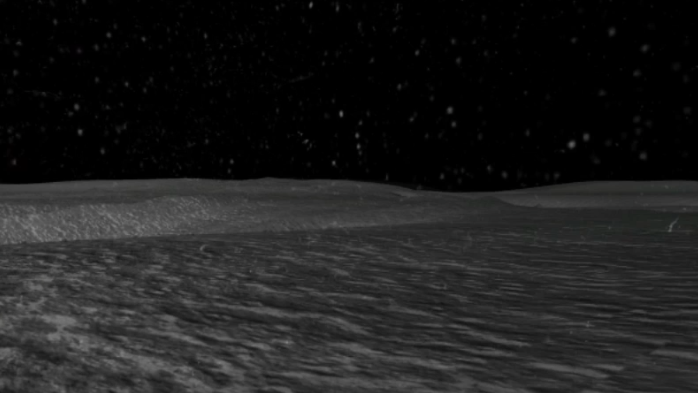
Using artists impressions and photographic evidence from the surface, I was also able to create a number of fairly accurate textures to cover the terrain/landscape with. This could be painted on, again using the terrain tool within Unity, where I could mix several different textures to create a natural looking environment.

I then moved on to re-creating Venus. Again I followed the same method and used all scientific data available to me, such as height maps etc. Thanks to the Soviet Unions Venera space missions, there are even pictures of the surface I could use to copy and compare – adding to the level of accuracy.
